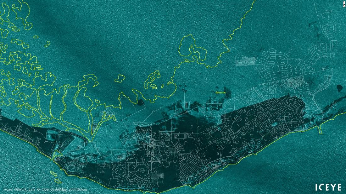
Hurricane Dorian was downgraded to a Category 2 storm on Tuesday, after it battered the Bahamas and forecasters continued to warn of severe hurricane conditions across Florida and the southeastern coast of the United States.
5 >156 m.p.h. 4 130-156 m.p.h. 3 111-129 m.p.h. 2 96-110 m.p.h. 1 74-95 m.p.h. Tropical storm
Reported
Likely
Note: Areas shown as likely to receive tropical-storm-force winds have a 50 percent or higher chance of experiencing wind speeds of at least 39 miles per hour.
For the latest updates on the storm, follow our live coverage.
The storm finally began to move away from the Bahamas on Tuesday, after spending several days pounding the country. The composite animation below shows the storm’s movement since Thursday and is based on satellite imagery.
Composite animation by The New York Times ·Source: Satellite imagery from the National Oceanic and Atmospheric Administration
A hurricane warning was extended to about 180 miles of the Florida coast. The storm is also projected to approach South Carolina and Georgia as a major hurricane. In North Carolina, state officials warned that heavy rain could cause dangerous flooding beginning Wednesday evening.
Expected rainfall for the next seven days
Storm surge was expected from Florida to North Carolina as of Tuesday, and could cause ruinous flooding and wipe out roads and beaches.
Potential storm surge flooding
Predicting Dorian’s path has been particularly challenging for meteorologists. The National Hurricane Center uses various models that show where the storm could go using different forecasting techniques.
The map below shows the official forecast of National Hurricane Center compared to simulations from the European Centre for Medium-Range Weather Forecasts, which are generated by running their forecast model many times using a range of initial conditions.
On Friday, President Trump approved an emergency declaration for Florida, giving the state increased federal support and resources. On Saturday, with the predicted path of the storm now changed, the governor of South Carolina declared a state of emergency as well, followed by similar declarations for North Carolina and parts of Georgia. With the lack of clarity on where the storm will hit, Florida residents wrestled with the question of whether to stay or evacuate.
Satellite image by the National Oceanic and Atmospheric Administration
For latest updates on Hurricane Dorian, follow our live coverage.
https://www.nytimes.com/interactive/2019/09/03/us/hurricane-dorian-path-map-track.html
2019-09-04 09:32:10Z
52780372602859


